Location and transport connections
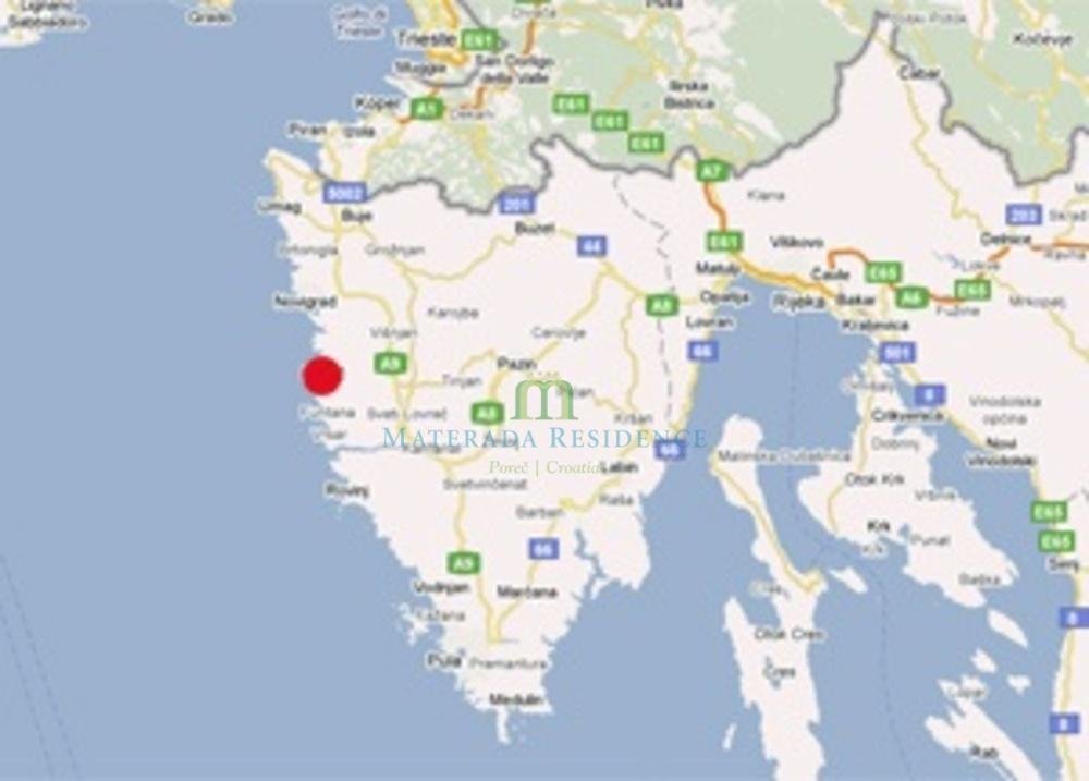
Poreč is located on the western coast of the Istrian peninsula. The wider Poreč area stretches to the Mirna River near Novigrad in the north and to Vrsar and Funtana in the south
The Poreč area has 37 km of shoreline and covers 142 km2 where about 20 000 inhabitants reside. The area is rich in vegetation with vineyards, olive groves and farm land and with pine and oak woods which join the sea in a superb blue-green landscape. Accommodation relatively close to the border with Slovenia has ensured the arrival of Slovene, Austrian and Italian tourists in both high and low season. This is the reason why the region of Poreč hosts various sports and entertainment events throughout the whole year.
Its fortunate geographical position on the Istrian peninsula and excellent transport links enable the guests to visit other interesting destination, like the Brijuni Archipelago, to go on trips along the coastline or even to visit Venice by sea. Road trips can be used to study and visit numerous small but picturesque Istrian towns – Hum, the smallest town in the world, Grožnjan, the artists town, Motovun, a town on the hilltop and a film oasis, Pula and its Arena, the Amphitheatre. Larger towns like Rijeka or neighbouring Ljubljana and Trieste are also worth seeing.sta. Distance from Poreč to: the closest train station: Pazin 32 km, Pula 55km the closest airport: Pula 55 km, Trieste 70 km, Krk 120 km, Ljubljana 150 km, Zagreb290km Poreč has an international seaport border post and summer ship links with Trieste and Venice. GPS 45° 14´ 49 N 13° 35´ 50 E Plan your trip using the Via Michelin planer.